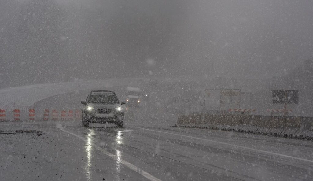
Western North Carolina has recently experienced a storm that brought substantial rainfall following a notably dry fall season. According to the National Weather Service, significant winds are anticipated in the aftermath of this storm, with a wind advisory issued on the morning of December 11 for various mountainous counties including Buncombe, Henderson, Caldwell, Burke, McDowell, Rutherford, and Polk. This advisory is set to remain in effect until early the following morning, marking a shift in weather patterns for the region. Residents have been informed about the incoming wind conditions, school closures due to inclement weather, and the rainfall amounts observed during the storm.
On December 11, the weather forecast for Asheville and surrounding areas included a mild 20% chance of showers before noon, accompanied by patchy fog. As the day progressed, clouds were expected to clear, resulting in cooler temperatures dropping to around 34 degrees Fahrenheit by 1 PM. Breezy conditions were reported, with sustained northwest winds of 16-22 mph and gusts reaching up to 29 mph. The evening forecast suggested partly cloudy skies and a low temperature of around 26 degrees, while wind speeds were predicted to slightly decrease but still remain noticeable.
Looking ahead to December 12, the forecast indicated a sunny day with highs nearing 44 degrees. Northwest winds would continue, albeit at slower speeds between 9-13 mph, with gusts still capable of reaching up to 26 mph. The ongoing windy conditions, combined with significantly cooler temperatures, are set to provide a notable contrast to the wet weather that characterized the area just days earlier, affording residents a chance to prepare for the temperature drop.
As a result of the recent storm, some areas of Western North Carolina recorded considerable rainfall. Notably, the mountainous regions near the South Carolina border, particularly from Brevard across parts of Henderson and Polk counties, received between 2.5 to 4 inches of rain during the storm on December 10 and 11. In Asheville, rainfall totaled approximately 2.28 inches. Interestingly, despite the heavy rain, the region has not experienced flooding, primarily due to the dry conditions that preceded the storm, which, according to meteorologists, left streams and groundwater levels at relatively low rates.
Snowfall was another component of the weather event affecting Western North Carolina. Counties bordering Tennessee, particularly at elevations ranging from 3,000 to 3,500 feet, were expected to receive light snow accumulations. Forecasters estimated that these areas might see about 1 to 2 inches of snow, with potential for slightly higher amounts on the peaks. However, most lower-elevation areas, including Asheville, were not anticipated to experience significant snowfall, mitigating any severe impact from winter weather.
In light of the wintery conditions and the heavy rains, school closures were enacted in several counties, including Avery, Madison, Mitchell, and Yancey, reflecting the local authorities’ response to ensure student safety. Fortunately, the storm’s previous dry conditions played a crucial role in preventing any instances of flooding across Western North Carolina, as the region continues to recover from recent weather-related challenges. The overall response from meteorologists and local officials indicates a community well-prepared to meet the challenges of fluctuating weather patterns in the coming days.

