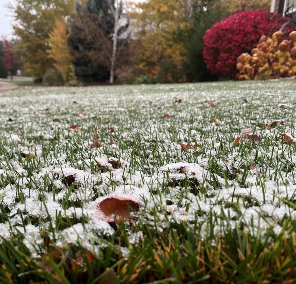
Fort Collins, Colorado, recently experienced its inaugural snowfall of the season, marking the transition into colder weather. The snowfall, though modest, was sufficient to create a light covering on the grass. As the temperatures shifted from a relatively mild weekend, forecasts indicated that the area could expect more rain and snow, with nighttime lows possibly dipping into the teens. This change is typical for late October and serves as a reminder of the impending winter conditions in Northern Colorado.
The snowfall was accompanied by a weather system that moved through the region from October 29 to 31, delivering approximately 0.1 inches of snow and 0.31 inches of precipitation, based on measurements taken from the main campus of Colorado State University (CSU), which acts as the official weather station for Fort Collins. Interestingly, this precipitation marked the first of October as the city typically receives an average of 1.25 inches of moisture and 4.1 inches of snow throughout the month, according to the Colorado Climate Center. This year, the city had witnessed a lack of moisture until this recent storm swept through the area.
Looking ahead, weather forecasts provided by the National Weather Service predict a mix of rain and snow for the days following the first snowfall. Saturday was expected to be mostly sunny with a high near 60 degrees, transitioning into cooler temperatures on Sunday with a 50 percent chance of showers in the afternoon. By nightfall, this chance was expected to escalate to a 70 percent likelihood of a rain/snow mix. As temperatures continue to drop, a high of only 44 degrees was anticipated for Monday, alongside significant chances for rain and snow during the day, emphasizing the rapidly shifting weather patterns typical of the season.
As the week progresses, temperatures are predicted to decline further, featuring highs in the upper 30s and lows dipping to around 17 degrees by Wednesday. Tuesday’s forecast indicates a mostly sunny day with a high near 49, though there remains a slight chance for additional snow showers later on. On Thursday, the weather is expected to improve with full sunshine and a high near 46, providing a brief respite from the colder conditions and potential snowfall opportunities that have characterized the week’s forecasts.
With the arrival of colder weather, residents are also reminded to prepare their fall lawns and gardens for winter. Articles have surfaced providing advice on critical preparation tasks, including the proper steps for blowing out sprinkler systems and various methods for disposing of leaves and pumpkins after autumn festivities. Ensuring that these preparatory tasks are completed can help maintain the health of lawns and gardens through the winter months, making for a smoother transition to spring.
In summary, the initial snowfall in Fort Collins signals the transition to winter and brings a notable drop in temperatures. While the city’s total October precipitation had been lower than average before this storm, the outlook includes additional chances for rain and snow in the coming days. Residents must prepare for these conditions by attending to their outdoor spaces, resulting in a unique juxtaposition of seasonal beauty and practicality as Colorado navigates the autumn to winter shift.

