


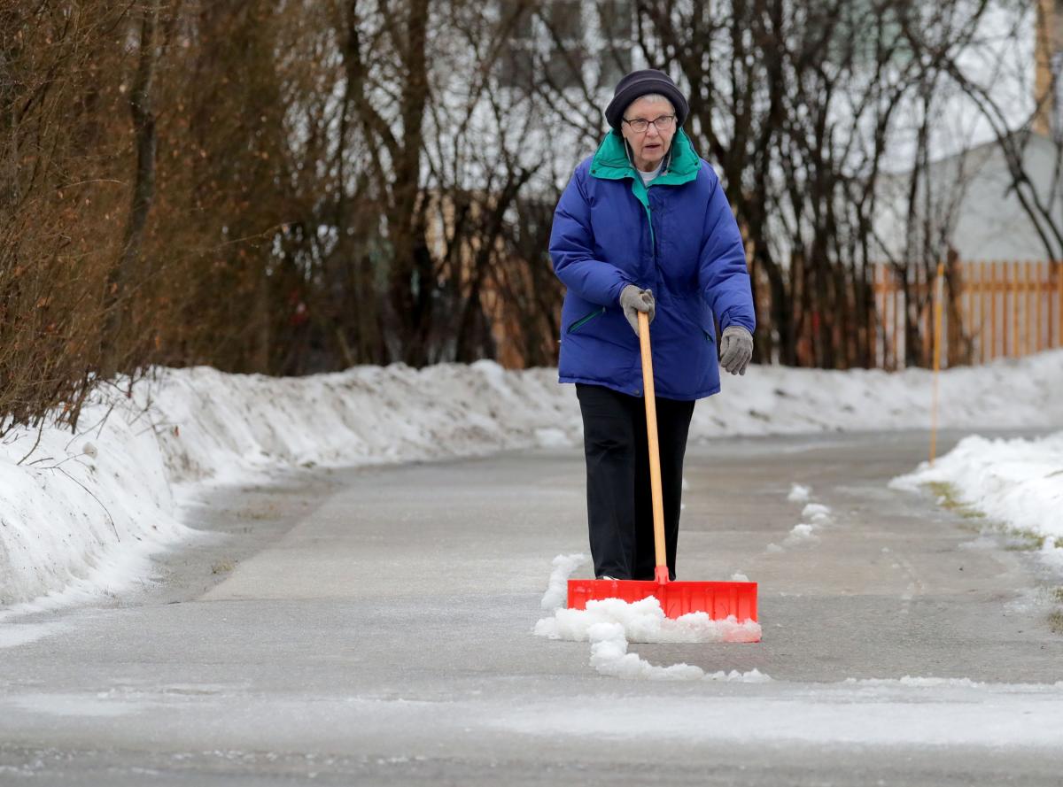
A weak weather system is expected to bring freezing rain to southeastern Wisconsin overnight, raising concerns about hazardous road conditions on Monday morning, according to the National Weather Service (NWS). Meteorologist Kevin Lynott warned that icy conditions could develop, particularly on untreated surfaces. These conditions could make travel exceptionally dangerous as freezing rain may coat roads with a thin layer of ice, primarily affecting bridges and overpasses that tend to freeze faster. Lynott emphasized the importance of caution for commuters, who should be prepared for potentially treacherous driving as the freezing drizzle begins to take effect overnight.
In anticipation of the adverse weather, the NWS has issued a winter weather advisory for much of southern Wisconsin lasting from Monday morning into the early afternoon. Travelers are encouraged to exercise extreme caution, as the freezing rain and subsequent formation of ice on the roads could lead to significant disruptions. Ice accumulation could impact local infrastructures as well, with the possibility of power outages due to the weight of the ice on power lines and cables. The advisory serves as a critical warning for residents to remain vigilant and prepared for sudden changes in travel conditions.
As the freezing rain passes later in the day on Monday, a significant change in the weather is expected with temperatures gradually rising. Lynott anticipates that by late Christmas Day, the region will experience temperatures in the upper 30s. This warming trend will continue into the days following Christmas, with forecasts indicating that temperatures could reach the mid-40s, especially near the lakeshore. This shift in weather raises the possibility of improved road conditions later in the week, allowing for safer travel as the ice melts.
Despite the impending freeze, many areas will maintain a picturesque view of a white Christmas, particularly in locations just north and northwest of Milwaukee where snow from a previous storm remains on the ground. Lynott noted that the warm-up would primarily occur after Christmas, meaning that, for those celebrating the holiday, a snow-covered landscape will still be present to create a festive atmosphere. The snowfall paired with the upcoming temperature increase presents a seasonal contrast that many residents may appreciate during the holiday period.
For those planning travel during the advisory period, it is crucial to remain alert and adhere to safety guidelines provided by local authorities. The NWS recommends allowing for additional travel time, reducing speed, and maintaining a safe distance between vehicles to mitigate the risk of accidents on slippery roads. Awareness of changing weather conditions is essential, and residents should stay informed through local news and weather forecasts on developments related to this winter weather event.
The approach of warmer weather following the freezing rain may also bring relief to residents dealing with the strict cold of December. As temperatures rise after Christmas, there may be an opportunity for outdoor activities and gatherings to resume as more favorable weather conditions return. However, the transitional period remains critical as both residents and commuters adjust to rapidly changing conditions, with the potential for delays and disruptions still present until the icy weather clears. Overall, the combination of winter precipitation and the allure of warmer days after the holiday creates a complex but noteworthy pattern of seasonal change in southeastern Wisconsin.


